Huddersfield
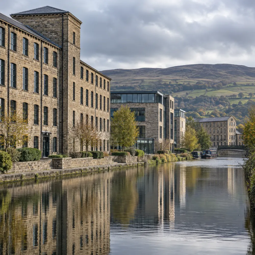
The Huddersfield Broad Canal runs from Aspley Marina towards Cooper Bridge. The Narrow Canal links the town with the Colne Valley. For businesses near shared routes, we consider the camera view and public access separately from private working areas.
Kirklees Council canal guide
Slaithwaite
Slaithwaite sits beside the River Colne and the Huddersfield Narrow Canal. Its former textile mill buildings are part of the village’s character. For commercial premises, discuss the entrance layout, shared access and any restrictions on fixing equipment to older fabric.
Slaithwaite local information
Marsden
Marsden is on the Huddersfield Narrow Canal, with Standedge Tunnel and its visitor centre at Tunnel End. For premises near the station, distinguish customer approaches from staff-only entrances when describing the security requirement. For a business enquiry, include the premises postcode and any access constraints rather than relying on the nearest landmark.
Kirklees Council Marsden route guide
Holmfirth
Holmfirth lies within the Holme Valley Town Council area. The Picturedrome stands on Market Walk in the town centre. For venues and other commercial premises, security plans need to account for visitors, deliveries and the ability to leave safely.
Kirklees Council area profiles · Picturedrome listing
Meltham
Meltham shares the HD9 postal district with the Holmfirth area. Meltham Mills Industrial Estate is a local commercial location. For an industrial enquiry, identify the unit, vehicle entrance and any existing gates or CCTV rather than just the estate name.
Kirklees Council area profiles · Industrial estate listing
Dewsbury
Dewsbury is a historic minster and market town. The River Calder and Dewsbury Beck shape its urban setting. For commercial security, tell us whether the requirement covers a public-facing entrance, a working yard or internal restricted areas.
Historic England Dewsbury assessment
Batley
Bagshaw Museum stands in Batley’s Wilton Park. The former mill owner’s building sits above the town, off Upper Batley Lane. For businesses managing older premises, a security survey should consider cable routes and door condition as well as new equipment.
Kirklees Council local history
Mirfield
Huddersfield Road in Mirfield is part of the A644. The River Calder runs beside sites to the west of the town centre. For yards and business premises, separate the vehicle access requirement from pedestrian routes when describing a gate or camera project.
Kirklees planning document, local context
Cleckheaton
Cleckheaton was historically part of the larger Spenborough Urban District. Its local area includes Marsh and Rawfolds, as identified in Kirklees Council’s area profiles. For commercial premises, describe which entrance or working space needs protection and who manages it.
Kirklees Council area profiles
Linthwaite
Linthwaite is on the Huddersfield Narrow Canal route. Scarwood Bridge is a named crossing where Kirklees Council has improved towpath access. For nearby business premises, camera placement should distinguish your boundary from neighbouring and shared routes.
Kirklees Council canal guide